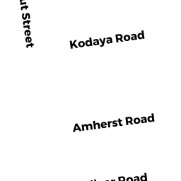
7 AMHERST RD
Owner Information
FRIEDMAN ROBERT L & BARBARA S
7 AMHERST RD
WABAN, MA 02468


Property Details
7 AMHERST RD is classified as a Single Family Residential (Split-level).
The primary structure on this property was built in 1950. There are 3,054ft2 of built area within this property. There is 1,392ft2 of residential/living space within this property. This property is listed as having 5 rooms.
7 AMHERST RD is valued at $813,700. The land is valued at $757,800 and the structures are valued at $55,900.
This property is in Zone SR2. Confirm with local Zoning Board authorities to ensure there are no overlays or other easements on this property.
The most recent deed for 7 AMHERST RD is recorded at the local registrar in Book 33655, Page 539. 7 AMHERST RD was last sold on Wednesday, August 1, 2001 for $550,000.
Assessment data from fiscal year 2022.
Flood Data
According to the FEMA National Flood Hazard Layer, this property does not appear to be in a flood zone. It may also be in an area not yet reviewed. Nonetheless, confirm this information prior to taking any action.
To view the flood hazards around this property, create a FEMA "Firmette" Map of the area around 7 AMHERST RD.
Broadband Internet Providers
| Provider | Type | Bandwidth (mbps) | |
|---|---|---|---|
| Viasat Inc | Satellite | 100 | 3 |
| Verizon New England Inc. | Fiber | 940 | 880 |
| Crown Castle Fiber | Fiber | 0 | 0 |
| Comcast | Cable | 1000 | 35 |
| RCN | Cable | 500 | 20 |
| GCI Communication Corp. | Satellite | 0 | 0 |
| HughesNet | Satellite | 25 | 3 |
| VSAT Systems, LLC. | Satellite | 2 | 1 |
Broadband service provider data from December 2020.
Adjacent Properties
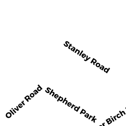
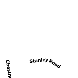
- 81 STANLEY RD
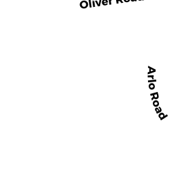
Single Family Residential owned by AKBULUT MUHTAR - 107 OLIVER RD
Single Family Residential owned by KUROSAWA SHINICHIRO - 89 STANLEY RD
Single Family Residential owned by CHERVINSKY MARGARITA & BORIS L/E - 15 AMHERST RD
Single Family Residential owned by RAMANATHAN RAJARAM - 75 STANLEY RD
Single Family Residential owned by MILLER BRADLEY S